Every ride.
Every track.
Yours forever.

AllTraxx records the route, keeps the topo context, pairs with rugged GPS hardware, and exports the real GPX when the ride is done.

Offline first Topo context remains useful where cell signal quits.
Hardware GPS BLE bridge, external LoRa antenna, cabled GNSS puck.
Full GPX Every point, every ride, no downgrade gate.
No subscription The hardware is the product. The app stays free.

The opening moment matters.

The AllTraxx mark lands on the topo map first, then the app slides into the live trail view. It feels like the product belongs on the terrain, not above it.

Topo before satellite The brand moment starts on contour lines, then gives way to the riding map.
Real app screen This is captured from the iOS simulator, not a mocked marketing panel.
Outfit + mono The site uses the same geometric UI voice as the app chrome.
Fire & Ice Dark field-readability, orange action, crisp topo contrast.
AllTraxx splash logo landing over a topo map
Logo lands on topo
AllTraxx map screen with satellite layer and HUD controls
Live map HUD

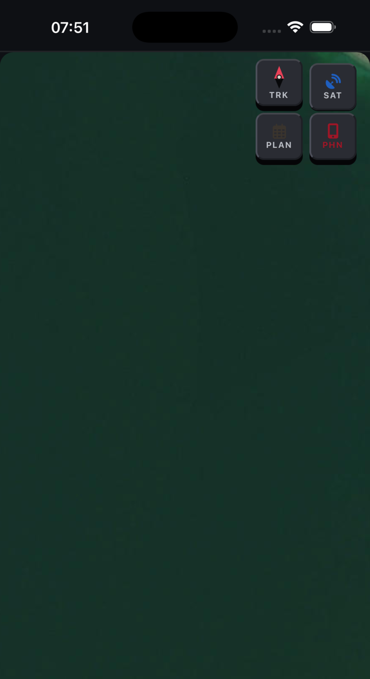
Built around the gear riders actually mount.

The phone records. The module bridges the bike. The antennas sit where they can see the sky and the crew.

LoRa External whip antenna for trail-time group range.
GNSS Long cable to puck/radial antenna on a swappable base.
BLE 10Hz GPS bridge from the hardware module to the app.
Mount Rugged compact module for backcountry vehicles.
Revelstoke ridge run
24.7 km
1,842 m gain
0.8 m fix

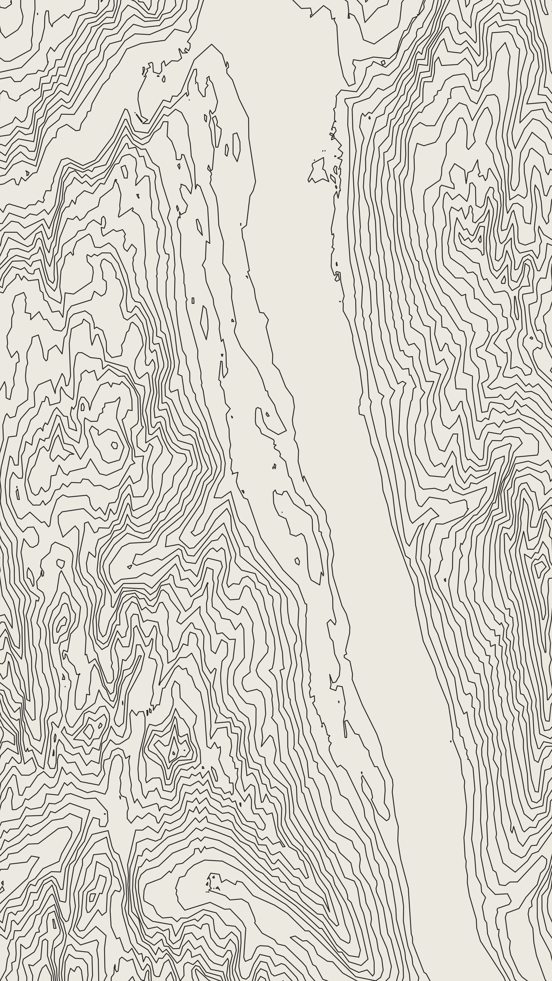
Maps that do not need permission from a tower.

Contours, cached base maps, satellite context, and your track all live together. The map is a riding tool, not a cloud dependency wearing a compass icon.

Pre-generated contour tiles for offline terrain awareness.
Satellite layer for visual orientation when the rider wants it.
App and hardware stay useful when the route is out past service.
$0

No subscription. Just the ride.

The hardware is the monetization. The app is free, and full-fidelity GPX export stays free because a rider's track is not a hostage.

Raw GPX export with every stored point.
No account required for recording.
Compatible with Garmin, Strava, Gaia GPS, and your own archive.

Built for backcountry. Built for riders.

AllTraxx is a local-first GPS recorder, topo map, hardware bridge, and permanent ride archive for routes that only happen once.

Join preorder list
alltraxx.ca